If you’re a 3D-scanning service provider in any industry, you probably spend a lot of your time explaining LiDAR to your clients. What is it? How does it work? What does it do? How can I use it? Etc. Etc.
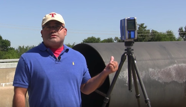
Well, regular SPAR reader Todd Davis (VP of Animation at 21st Century Forensic Animations) has put together a short video to answer all their questions. It walks the viewer through everything a novice could need to know about this powerful technology.
The video is intended for forensics customers, but should act as a good primer for any novices out there who want to understand what LiDAR is all about.
Here’s 21st Century’s own description:
“In this video we will share with you some technology that can have a significant impact on your cases, terrestrial laser scanning. Laser scanning is simply a process which accurately measures 3 dimensional objects or scenes. Think of it as a 3D photo.”