
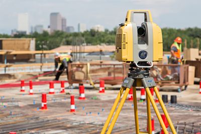
Autodesk and Topcon have announced that ReCap 360 and ReCap 360 pro software will accept raw data from the GLS-2000 laser scanner “with no intermediate software conversion steps necessary.”
Previously, importing data from a Topcon scanner into Autodesk’s reality computing software required users to process their scans using TopconScanMaster software. Now, users can import the files directly to “view, register, measure, markup, process, and edit scan information.”
“With the Topcon and Autodesk BIM solution, users can speed up the process by now directly importing their scan data into ReCap 360 and 360 Pro for every step of the point cloud process — registration (Pro only), cleanup, indexing, segmentation and more,” said Charles Rihner, vice president of the Topcon GeoPositioning Solutions Group in a prepared statement. “Once in ReCap 360 or Pro, reality data captured with the Topcon GLS-2000 is ready for consumption in any Autodesk software solution such as AutoCAD, Revit, Inventor, Navisworks, InfraWorks, and 3ds Max.”
“With these new versions of ReCap 360 and Pro, our capture workflow is now even faster,” said Rihner.


