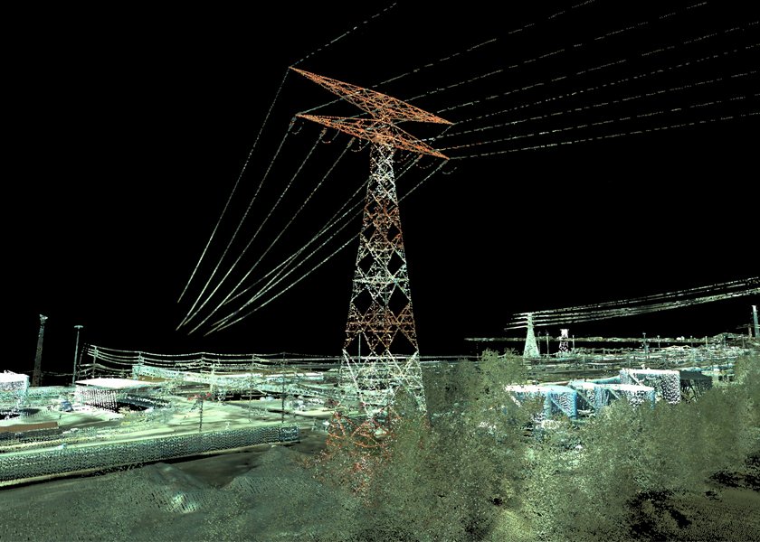
Fugro announced it has received a photogrammetry and LiDAR surveying and mapping contract with the US Army Corps of Engineers, St. Louis District.
Under the contract, Fugro will support the Center of Expertise for Photogrammetric Mapping in providing rapid photogrammetric mapping. The services provided will include photogrammetry, LiDAR elevation mapping, land use/land cover analysis, and disaster response services, among others.
The contract stipulates five years of indefinite delivery quantity with a value limited at $12.5 million. This is Fugro’s third consecutive contract with the Army Corps, extending their partnership beyond 30 years.
“Our long-standing collaboration with the USACE has produced a multitude of products utilizing numerous evolving technologies and methods over the years,” said David White, senior vice president of Fugro Geospatial in a prepared statement. “We look forward to continuing our valued partnership and providing geospatial solutions to the St. Louis District in the coming years.”


