
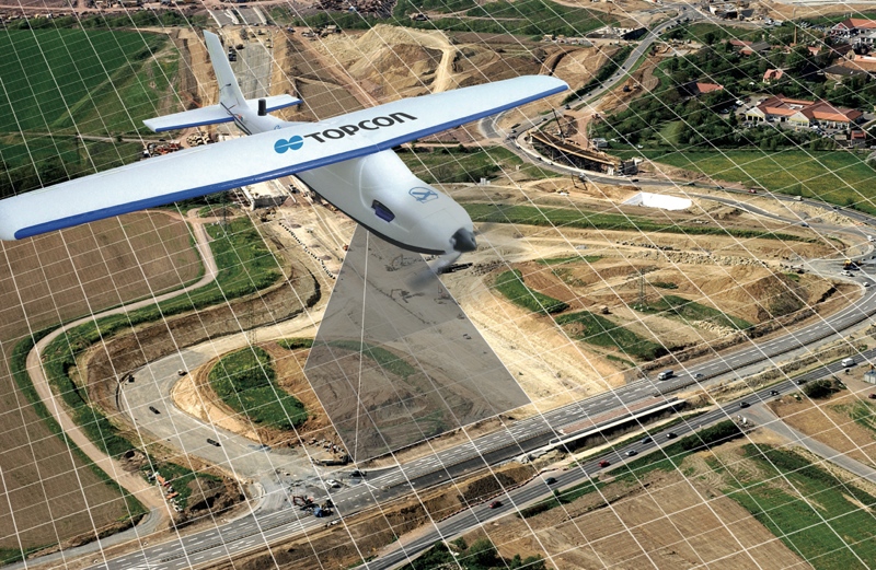
Topcon Positioning Group has announced two new mapping kits for its Sirius Pro fixed-wing UAS (unmanned aerial system). Each kit supplies a different sensor package, enabling the Sirius to adapt to different applications.
All Sirius fixed-wing UAV platforms include hand-launch, GNSS RTK mapping, and MAVinci desktop flight-planning software. Topcon rates the Sirius as fully operational up to wind speeds of 50 km/hr and gusts of 60 km/hr.
Both new mapping kits include an upgraded version of the MAVinci software, as well as new sensors.
The Sirius UAS City Mapping Kit comes with a Fuji X-M1 8 mm lens. The kit can capture data at altitudes below 50 meters, and is ideal for use capturing vertical facades like buildings and construction sites.
The Sirius UAS High Resolution Mapping Kit includes a Fuji X-M1 27 mm lens. When flying a UAV at the same altitude, this lens captures more detail and higher resolution images. It is optimized for construction site monitoring, survey, and aerial mapping.


