

During the latest Esri UC, the company announced ArcGIS Indoors, a new and complete indoor mapping system. Scheduled for release in Q4 of 2018, the system will offer a floor-aware location platform providing maps, data and location information for indoor spaces. It is targeted at facility owners, business ops and occupants who can use the system’s precision mapping capabilities to analyze, optimize, locate, navigate, collaborate and share indoor information.
With ArcGIS Indoors, Esri offers a product that meets the large demand for real-time indoor location solutions. Examples of indoor locations that require real-time mapping solutions are corporate facilities, retail and commercial locations, airports, hospitals, event venues and universities.
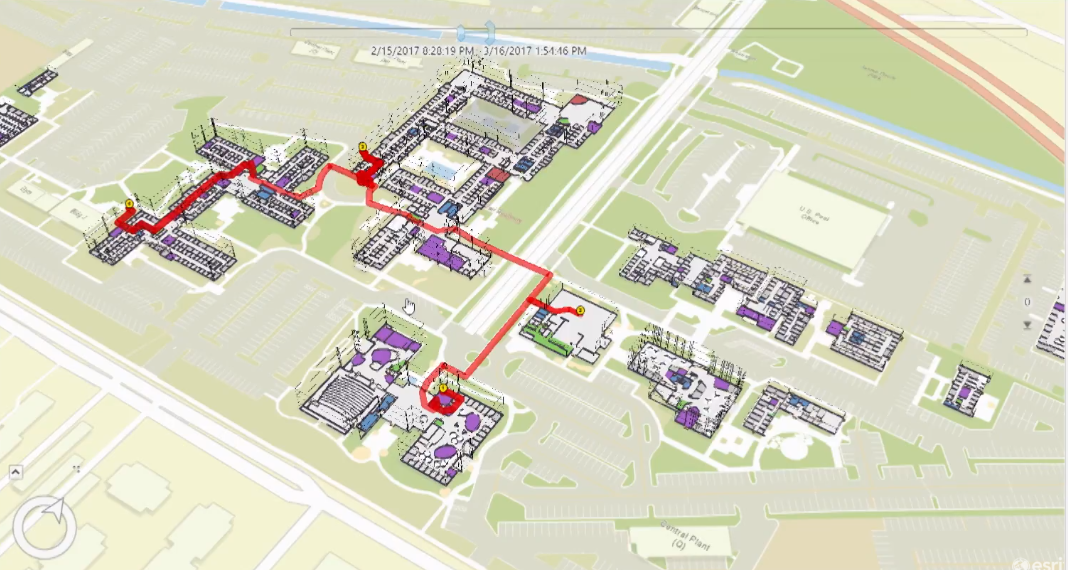
An example of a use case was Esri’s own International User Conference, where visitors can schedule a day worth of sessions and receive walking directions based on their current location inside the venue of the event. However, the system offers more than just routing: it shows you where the nearest fire exits are in case of emergency on a map as well as contextual information, for example POIs or room names. Combined with scheduling functionality, the system can tell you where your next meeting is and how much time it takes you to get there the fastest possible way.
To be able to offer real-time indoor positioning and routing directions, the building in question needs to be equipped with location technology that connects to the phone where the app is running. Although this is not part of the ArcGIS Indoors system, it is a prerequisite for the system to work. Esri stated that it has used Apple’s location technology for prototype versions of the system.

ArcGIS Indoor Information Model (AIIM)
The mobile app is an obviously important part of the system. At the latest UC in San Diego, Esri demoed an iOS app that shows 2D indoor floor plans, together with scheduling and routing tools. This app has access to a mobile map package that is hosted in ArcGIS Online and that contains all the indoor location information relevant to the building at hand, such as CAD/BIM Data, POIs, transportation network and vector baselines. The logic of the different floor levels are defined in Excel sheets, as well POIs, and feature class information.
Because there´s a large variety in buildings, each indoor information model will be unique. At the moment, there’s no quick way of generating an indoor location information model: A variety of data sources can be used to create one, but there are cases for which it’s best to start from scratch if no data exists at all. Fortunately, a lot of users acquired the necessary technical experience with the Esri Campus Viewer and accompanying Editing Template, which can be regarded as the precursors to this new system.
Information models are created ArcGIS Pro in a two-step process: First, create a lattice network that covers every walkable space in a building based on the available location data. This serves as the basis for a thin lattice network with more details, using a special set of toolboxes in ArcGIS Pro. Last, push the output to ArcGIS Online as a mobile map package.
Although the public release will be later this year, some parts of ArcGIS Indoors have already been demoed, for example an iOS mobile app, an add-in for ArcGIS Pro, together with a 2D/3D web viewer. Other related releases are an Android mobile app and dashboard.


