

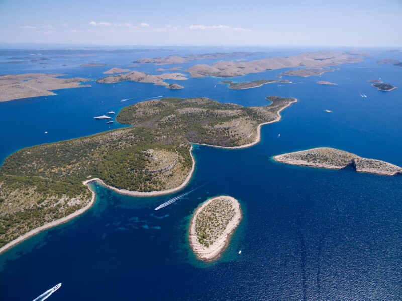
It’s amazing how under-the-radar, for lack of a better term, geospatial technologies are given how much impact they have on our understanding of the world. I mentioned this to those in the audience at Geo Week 2024’s day two keynote in which presenters Dr. Esta Geragthy and Ronda Schrenk each shared examples of how geospatial technologies have been used to make the world a better place, but when I explain what I cover for work many people in my life don’t know what I’m talking about. Despite that, every day we see new examples of how insights gained from these technologies are changing our perceptions of this planet, whether it be from lidar surveys, photogrammetric projects, or data collected from space.
Today, we look at a few stories from our friends around the industry looking at the impact of geospatial technologies on our world. This week, we have a trio of stories, including one examining the latest developments in topobathymetric technologies and how that’s affected the field of hydrology. We also have a case study on research around icebergs for our understanding of climate. And finally, one of the biggest names in our industry explains why now is the time for emphasizing geospatial technology and data. Find links to the full stories below.
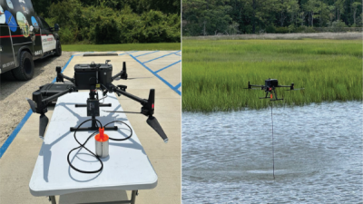
The impact of topobathymetric technologies in hydrography
Salman Bashit, Narcisa Pricope | Hydro-International
While bathymetric surveys around coastlines aren’t exactly a new innovation, the ease and accessibility of completing this work has become simpler than ever. This article explains the impact of topobathymetric technologies on hydrology and the innovations that unlocked these possibilities. Specifically, thanks to the proliferation of uncrewed aerial vehicles, or drones, along with miniaturizing sensors that make combining technology in one payload, it’s easier than ever to get data on these coastlines. Given how important coastlines in general are to understanding shorter term impacts of climate change, this is an extremely important development.
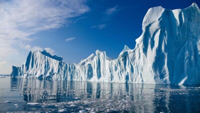
UMaine researchers use GPS-tracked icebergs in novel study to improve climate models
University of Maine
I mentioned at the top of this page how relatively few people outside of this industry know a lot about the technologies we talk about on a daily basis at Geo Week News, but one technology most everyone is familiar with is GPS. Most of us associate that with getting around in our day-to-day lives, but here we have a story about how researchers are using GPS to create better climate models. Specifically, a group of researchers from the University of Maine is using data collected from GPS devices on icebergs, using their movement to better understand fjord circulation, and in turn enhance the accuracy of existing climate models.

Time For Geospatial is Now
Aditya Chaturvedi | Geospatial World
Finally, we have an interview with Nadine Alameh, one of the most prominent members of the geospatial industry. Formerly the CEO and President of the Open Geospatial Consortium, she’s recently taken a new position as the Executive Director of the Taylor Geospatial Institute in St. Louis. In this interview, she talks about the impact TGI can have on the industry, and why this is a crucial time in this industry in general to really harness its potential on the greater society.


