

“Die gleiche Prozedur wie jedes Jahr.”
As I sit to write what is becoming my customary industry outlook for the new year, I am reminded of a tongue-in-cheek phrase that I picked up on my frequent trips to Germany over the years. The catchphrase, “same procedure as every year,” is from the comedy sketch Dinner for One, originally recorded by German television in 1963.
The same procedure in 2017: chasing cheaper, lighter, smaller
When discussing 3D imaging technologies, it is easiest to focus on what has changed in the technologies that we use.
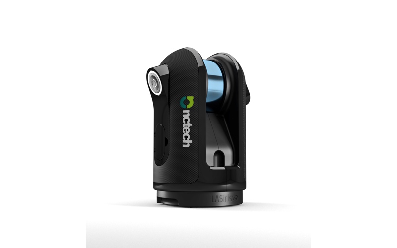
NCTech’s LASiris VR
This year, we have seen efforts to democratize technologies in the 3D imaging industry, and there is nothing to indicate that this will not continue to be a theme. Regular readers will be familiar with the opportunities provided by this new crop of low-cost 3D reality capture devices in the context of asset management and construction compliance. Still, I have been vocal that we should be careful about inappropriate uses of lower-cost (and lower-accuracy) 3D imaging devices, such as those in marketed survey-grade UAV applications.
We will also see innovations that bring new takes on applying traditional 3D imaging theory, and develop devices that can be used by an increasing number of non-specialists. For example, even as Google announced it will be shutting down its Tango program, we know that the rumor mill has long been churning about the upcoming 3D imaging technologies from other giants in the consumer technology space. With these innovations, the smartphone is becoming the lowest-common-denominator 3D capture device.
Meanwhile, more recognizable 3D reality capture devices like the BLK360 are now spreading among professional end users. Large industry customers in facilities management are using such lower-cost professional devices to address how 3D capture can be incorporated into the daily activities of existing personnel on the ground. While browsing news feeds prior to the end of year holidays, I noticed the recent delivery of multiple BLK360 units to Australian power distribution firm CitiPower and Powercor. Even if these are to be used by existing surveyors and designers, this could mean an increased number of people on the team can now capture 3D data daily. It is easy to hypothesize how this investment can enable to increased up of their digital asset infrastructure.
Aspirations for 2018
This increased number of low-cost systems means a proliferation of 3D data. That’s why, in 2018, I would like to see our focus moved from how we collect the data, to what we do with the data. This question can be answered from both technical and business-driven perspectives.
A screenshot from SKUR, a construction-specific software solution.
Better processing, more specialized software
From a technical perspective, we can better handle our data by looking at processing capacity. Processing 3D data takes time–so while improvements in the speed of 3D capture are beneficial, processing technology should not be overlooked. In 2017, we saw some moves in the right direction, including developments in processing hardware from autonomous vehicle oriented vendors such as NVDIA, who generated tech to perform the extensive calculations required to make automated decisions in real-time. In the reality capture industry, we look forward to seeing the results of collaborations such as that between NCTech, Google, and Intel on the upcoming OneStopVR platform.
Considering software from the technology perspective, I would like to see more domain-based workflows, such as those related to verification in the construction industry.
3D Repo VR
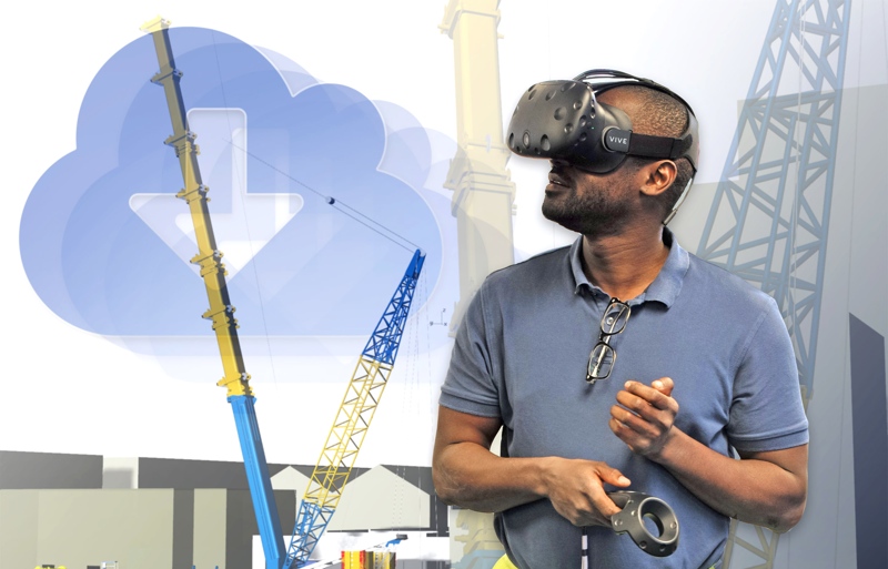
VR/AR
Heading into 2018, we are seeing much industry buzz leading about using 3D imaging as part of virtual and augmented reality (VR/AR) workflows. As an industry, we still have some way to go in defining what we mean by AR/VR and what we want from it. These definitions won’t get any easier, because they are changing while the technology evolves.
In the coming years, it will continue to evolve–There will be many ways of presenting data in increasingly sophisticated manners, and in ways that make collected data accessible and understandable by a growing user-base. Referring again to Google’s decision to drop Project Tango, the company is re-applying its resources to develop the ARCore platform and associated VR/AR activities.
What’s the data for?
In 2018, my biggest wish is that we move the conversation away from what technology we use, even away from what can be seen in the 3D data we capture and how quickly that data has been collected, and start focusing on end-to-end business drivers, and the board-level decisions that our 3D data enables.
A plug towards one of my colleagues presentation at this year’s ILMF: Todd Domney of Sumac Geomatics will be providing an economic perspective for UAV-based stockpile monitoring on the balance sheet of global natural resources firms. Rather than focusing only on speed and accuracy of data collection, and the extent to which it shows how much material has been produced, his presentation will talk about how the 3D capture process helps validate production planning, purchasing decisions, and even the logistics of supply trucks to the plant.
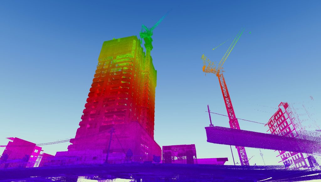
A Hovermap scan used to track construction progress
The next step
Today, there is little that we cannot capture, and we have a multitude of tools to do so. So, the big question is, How can we change the procedures that we focus on? Can we stop dwelling on the speed and cost of capture, and how realistic the data looks, but instead try to make better sense of what we are collecting, the reasons for capturing that data in the first place, and how these technologies really improve a client’s bottom line?


