

Recently, I have been discussing whether anyone with a UAV can now call themselves an aerial surveyor and whether we are even discussing this due to issues of cost alone. To summarize, my view is that a UAV-based survey method will not always be the cheapest method. Also, aside from any licensing requirements, much more is involved in delivering dependable UAV-captured data than simply possessing a nice looking and relatively inexpensive UAV and camera setup.
The conclusion that I would like professionals who are looking to deploy UAV-mounted 3D-imaging technologies to arrive at is that ‘low-cost’ should be lower on the priority list. This applies both to organizations who are considering undertake their own UAV survey operations, as well as to customers of their data.
Instead, I would like to see a much higher emphasis placed on expertise and value.
UAV Expertise
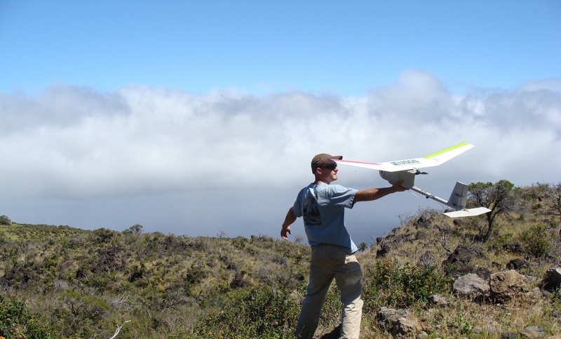
While the capital cost of UAV equipment is lower, providing UAV 3D-imaging services still requires similar levels of training, safety protocol, and flight and data processing expertise as manned aerial survey operations. A user of a UAV cannot compromise on procedures associated with ensuring safe airborne operation. They need to deploy the UAV in a manner that is controlled to collect data to the required standards of the project. They also need to be able to understand the implications of the in-office data processing methods when producing the required deliverable for a project and these implications will manifest themselves not only in terms of time and cost, but also expertise required—which has its own costs, too.
All these factors need to be accounted for so that projects do not need to be reflown due to poor results, and so that risks and costs to the end customer are minimized. Achieving these standards often comes at a cost higher than the perceived cost of using UAVs for operation.
UAV Value
Instead of focusing on cost, we should be focusing on the value that professionally delivered UAV 3D imaging services bring. For instance, we might ask:
- How can these services bring value to an organization by minimizing health and safety risks to its staff?
- Could they reduce the number of times that a surveyor needs to clamber over a stock-pile?
- Could these services offer access to a specific slope in a remote region where it would be uneconomic to fly a manned aircraft, or in regions where its impossible to collect data in any other way?
Conclusion
UAVs help us see parts of the landscape that we would not see otherwise, but those observations are only of value when the survey or data has been executed using the appropriate methodologies and checks and balances. As consumers of data from UAV survey services, we should not demand the lowest cost product, as the operator the UAV may not possess the expertise to deliver the value required.
Similarly, providers of these services should not forget that just because they have invested in equipment and some flight training, that the nice looking images that they produce are delivering the information that is actually required to be depended upon in a project.
No matter how low-cost the equipment is, these professional processes will always have costs associated with them.


