

In covering the world of 3D technology, whether it be using laser scanning tools or photogrammetry techniques, one of the most striking takeaways is always just how many different uses there are for it. Some of them are pretty niche, like something we covered back in 2022 about how laser scanners are being used to monitor weight in wildlife as demonstrated during Fat Bear Week. Even taking those unique cases away, though, there are a lot of core applications for this technology that present itself across industries.
Today, we focus on a few stories from friends around the industry looking at three different ways this 3D technology is being used. In one, we look at the way the AEC sector is using lidar and BIM simultaneously to enhance their workflows. In another, an industry insider provides insight into starting a surveying and mapping firm with 3D technology. And finally, we look at the unearthing of ancient civilization using these tools.
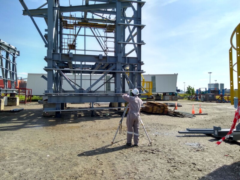
How to harness LIDAR and BIM technology for precise building data, equipment needs
Javier Garcia, Building Design + Construction
After years of relative lagging in the adoption of new technology, the AEC industry saw major transformation over the last couple of decades, first with the introduction and adoption of BIM, and then the same with lidar. On their own, each of these tools can help a project move along more smoothly. Together, they can transform workflows. In this article, Garcia highlights how to implement these scan-to-BIM workflows, including some real-world examples.
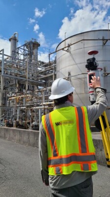
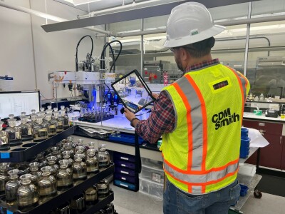
Building a Surveying and Mapping Firm with 3D Technology
Lidar News
It is one thing to decide that you want to start using laser scanning technology in surveying and mapping work, but it’s quite another to actually build those capabilities and implement them on a day-to-day basis. In this article, Lidar News interviews Joey C. Wilson, the founder of Wilson and Associates. He talks about some of his background, the equipment that he uses on both the hardware and software side, some lessons he’s learned, and some concrete examples of how this has worked in the real world. This is valuable insight from someone who has been working in this space for over a decade.
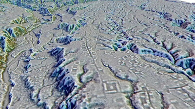
An ancient, massive urban complex has been found in the Ecuadorian Amazon
Amanda Heidt, ScienceNews
The previous two articles focused on laser scanning technology that is utilized on the ground, but that’s not the only time lidar is used to create 3D models. One of the other spaces which we’ve seen a lot of news from in recent years has been in uncovering mysteries of the ancient world, particularly in Central America. This article highlights another of these recent discoveries, as scientists discovered what is described within as “the Amazon’s earliest and largest example of farm-based citylike settlements high in the foothills of the Ecuadorian Andes.”


