

On the final day of Geo Week 2024, attendees were treated to a wide-ranging look at the use of uncrewed systems for sophisticated surveying operations. Moderated by Martin Flood of GeoCue Group, the Reaching New Heights in UAS Surveying session used case studies, technical analysis, and personal observations to explore the many ways drones are being used in mapping, surveying, and data collection—and explain why these systems are so effective.
To start the session, Mike George from Discovery Management Group described how his firm used drones to aid in a complex golf course redesign project. George, an expert in field data collection, GIS, and mapping technology, explained how the creation of a digital spatial record of the course was essential to the project’s success. To create this record, he said that Discovery Management Group professionals employed high-efficacy GNSS setups that provided centimeter accuracy and could be connected to an RTK network.

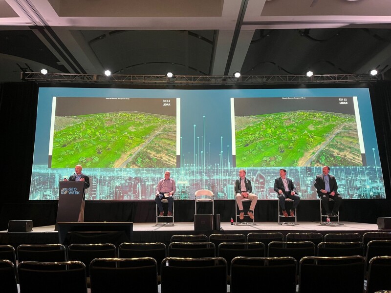
Moreover, George stated, the project benefitted from the use of higher-resolution cameras and lidar sensors for drone flights, which allowed for more efficient and complete data collection. With the ability to fly at higher altitudes—up to 400 feet—and use “higher-end drones for better efficiency and density in data collection,” he and his colleagues were able to capture centimeter-accurate GNSS data. He also reported that surveying and mapping professionals on the job took advantage of mobile data collection apps like Refine Maps to operate in areas with no cell phone coverage, used an offline toggle to download mapping areas before syncing with CAD data in real-time, and deployed lidar and photogrammetry to create a 3D model of the golf course.
Another example of the value of drone technology in mapping and surveying was presented by Carlos Femmer, Director of Data Acquisition at HDR Engineering. Femmer explained how his firm used drones, survey, and lidar systems to capture high-resolution orthomosaic imagery, point cloud data, digital surface models, video, and still images along the Trans-Canyon Water Line and North Rim of Arizona’s Grand Canyon. Using these tools, Femmer and his team performed a number of engineering, environmental, geotechnical, and inspection tasks and developed digital twins of areas along the water line.
Presenting breathtaking aerial images and detailed maps, Femmer clearly demonstrated the value of using drones and sophisticated data collection tools in dangerous, hard-to-reach environments. These technologies, Femmer asserted, not only enabled the team to meet its surveying and mapping goals, but they helped “reduce costs by providing detailed visual tools to better understand the site conditions, improve safety for contractors bidding and executing the work, (and) visually assess compliance requirements and provide documentation for pre and post conditions.”
Pivoting from these “real-world” examples of the uses of UAS technology, Sean Bowman, Senior Engineer at Exyn Technologies, explored some of the concepts that enable these systems to be so effective. Specifically, Bowman discussed SLAM (Simultaneous Localization And Mapping), the core algorithm that allows autonomous robots, such as drones, to operate in GPS-denied environments.
“The environments you want to map are sometimes dark and inaccessible, large, disconnected, dangerous,” he said, and “that makes the data that you want to capture expensive, infrequent, and inaccurate.” With autonomous data collection, said that personnel can be kept from harm’s way and operations can enjoy the benefits of high quality data collection that can occur far more frequently than traditional methods.

Building on these concepts, Bowman discussed recent advances in SLAM-powered autonomy and emphasized the need to standardize levels of autonomy to enable broader adoption across the surveying, mapping, and mining industries.
The session’s final speaker was Jake Lahmann, Executive Technology Specialist for Aerospace & Defense at Valmont Industries. Lahmann looked at the promise of using long-range drones for large-area data collection. With advances in uncrewed technology, he said, drones are now available that can fly longer and farther than ever before, opening up possibilities for more efficient, effective, and valuable mapping and inspection operations.
However, Lahmann reported, there are “some barriers that that we have realized over the past 10 years. The big one is the visual line of sight requirement.” Lahmann reported that FAA regulations require “pilots to be able to see the drone, know the orientation of the drone” during flight. These requirements, he asserted, can limit drone flights to about one-half mile and to about 30 minutes. Although drones hold the promise of delivering cheaper, more efficient operations, current regulations make traditional vehicles, such as helicopters, more attractive to many doing mapping and inspection work, Lahmann said.


