

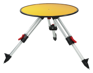
Routescene Ground Control Target
Anyone working in aerial surveying will be familiar with ground control points. By placing static, marked targets strategically around areas of interest and determining their RTK GPS coordinates, these “known” points can help improve the accuracy of aerial maps. When performing UAV lidar surveys, in particular, this extra level of assurance goes a long way.
Deploying ground control targets (GCTs) brings many benefits – checking for errors, making calibration easier on any project, and avoiding repeated or unnecessary visits to remote sites- and can help to simplify post-processing by avoiding data alignment issues.
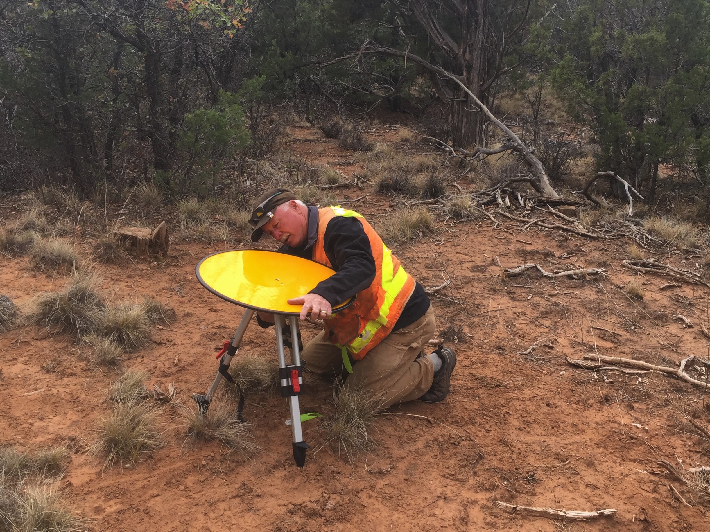
Because UAV surveys are often called upon for remote, rural or even hazardous locations, there are usually no pre-existing fixed points available (such as concrete features or solid surfaces) that can be used. Routescene, a data visualization, mapping and analytics company, has created GCTs that are made to maximize their benefits for UAV/UAS mapping efforts.
Covered with highly retro-reflective material to provide high-intensity returns, Routescene reports that each GCT will typically be hit 200-300 times by the lasers from a UAV LiDAR system. As a result, the targets are easily identifiable and can be automatically extracted from the geo-referenced point cloud. By directly comparing the known coordinate of the physical target with that visible in the point cloud, the difference between the two coordinates will illuminate any errors, confirming the accuracy that was able to be achieved.
The Routescene targets are raised from the ground using a mini tripod, and include a built-in bubble level enables accurate levelling and removes the need for a tribrach. Robustly engineered, the targets are built to stay in position during adverse and windy conditions, reducing the risk of unwanted repositioning during a survey.
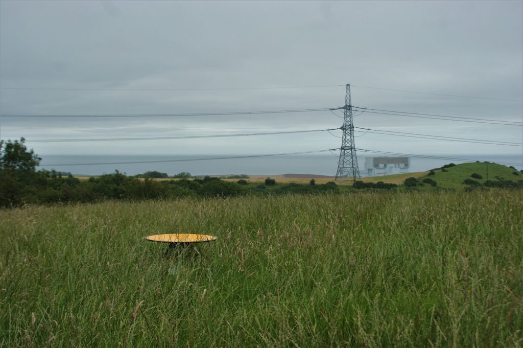
Routescene UAV LiDAR Ground Control Target visible in long grass.
Vashaun Hednerson, from customer Rekton Solutions (a Canadian drone survey firm), commented that being confident in their accuracy when working with clients has been “paramount” for them.
“Utilizing the special laser reflective ground control targets from Routescene we have been able to clearly identify survey monuments in the field, survey them and identify those targets in the scan. Having these targets enhances our ability to evaluate the scan’s alignment and our ability to evaluate and report on horizontal and vertical accuracy. It is something that has separated us from the pack.”
Gert Riemersma, Routescene’s founder and CTO, added that setting ground control points can improve accuracy and confidence in a survey.
“Setting Ground Control Points using our Ground Control Targets enables you to verify the level of accuracy achieved, calibrate the sensors on the drone, identify any errors early and as a result improves your confidence in the accuracy of the survey. Investing in Routescene Ground Control Targets for UAV LiDAR surveys increases the value of your data. Taking that extra time and effort to install these targets and to generate Quality Assurance Reports will improve the quality and your confidence in your data.”
Riemersma also recently expanded his thoughts on GCTs and UAVs in a detailed article on how UAV lidar survey and accuracy can be improved with Ground Control Points, which is available on the Routescene website.


