Last month I visited Optech headquarters in Toronto to get a preview of their new ILRIS-36D time-of light scanner that makes its debut at InterGeo 2004 in Stuttgart this week. [More details about InterGeo 2004 when Spar Point’s Bruce Jenkins returns from Germany next week.]
How does it work?
The ILRIS-36D scanner delivers a full 360- by 360-degree addressable field of view. Previous versions of the ILRIS-3D scanner allowed a 40- by 40-degree field of view. The old tool is more than adequate for many applications, but when all your competitors’ tools sweep through 360 degrees in the azimuth, you’d better respond. All else equal, surveyors prefer panoramic view to a keyhole view – who wouldn’t?
The device delivers a 360- by 360-degree FOV by incorporating a unique tilting platform, which first sweeps an arc 360deg in the azimuth, from -20 deg to horizontal in the zenith, and then tilting to range from 20deg above level to all the way down in the zenith, sweeping through 360deg in the azimuth. Look up, look all around. Look down, look all around. Obviously it can’t see through the tripod upon which it typically will be mounted. No other scanner that we know claims this complete 4-pi steradian coverage. No leveling is required to operate the device, but you always have the option to level if you want to.
Tighter angular resolution
Optech’s reputation in the scanner market is built on delivering precision tools that can be used for a wide range of measurements (the useful dynamic range of ILRIS-3D spans 3m to beyond 1000m). Optech engineers report that in the new version, they’ve tweaked the hardware to tighten the device’s angular resolution to 20 microradians from 26 microradians. This is the tightest angular resolution of all the commercial time-of-flight tools that we know about. Why should you care? The angular resolution determines the measurement spacing at range – it’s directly proportional. At 100 meters range, the grid spacing can be as little as 2mm. 100m x 20 microradians = 2 mm. [We’ll dedicate a future SparView to untangling accuracy, precision, resolution, spot size, angular resolution, etc. – Editor.]
Integrated digital photography
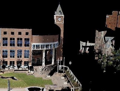
Integrated digital photography is becoming a must-have for more and more laser scanning projects. It speeds up interpretation of the results, and the marketing value of the information can’t be overstated. It’s one way to get those project managers on board. The new ILRIS-36D has an integrated 6.6 megapixel camera – the images are served up orthorectified and calibrated to the scan data – right out of the box. There is also the option to add external cameras and sensors.
Optech’s experience with airborne LIDAR, laser bathymetry and space systems points to allowing integration of multi-spectral sensor data going forward. Why would you want to do that? Imagine capturing infrared data in full 3D to image hot spots on a stack or heat loss from a building. That’s just the beginning.
Upgrade path
One common lament that we often hear from scanner owners is that their hardware is obsolete when a new model comes out. That’s a tough pill to swallow when your instrument cost has the same number of zeros as your house price. Good news here! Brent Gelhar, director of Optech’s laser imaging division, says you can upgrade most currently existing ILRIS-3D systems to new ILRIS-36D capability for about $25,000. The new machines are interchangeable and upgradeable. An entry-level system is just under $100,000 new; $150,000 fully equipped with analysis software. According to Gelhar, the new machines will ship in January 2005.