
GeoCue Group is partnering with the United States Geological Survey (USGS) to offer free access to lidar and imagery data for parts of the US affected by Hurricane Harvey and Hurricane Irma.
The data will be available on GeoCue’s new platform for delivering lidar data, getlidar.com. Available data sets will include lidar in LAS and LAZ format; 50 cm orthophotography for Harris County, Texas; Landsat 8 data for all areas; and US Department of Agriculture National Imagery Program data for all areas.
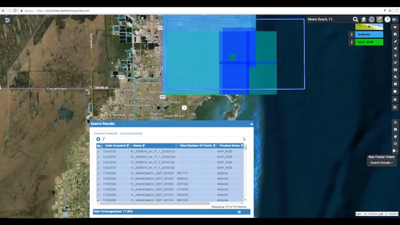
According to GeoCue, the data was gathered using their Earth Sensor Platform, which was developed with Teledyne for a remote sensing platform located on the International Space Station.
David Glenn, Director of Enterprise Solutions at GeoCue commented in an official statement, “We are honored to work with the USGS to make this vital geospatial data available at no cost to the myriad of companies and individuals who will be involved in the recovery work. My team has put in some long hours to get our nascent ESP system loaded with data and ready to scale out to meet an anticipated high user demand. I want to thank the USGS National Geospatial Technical Operations Center and TNRIS for all of the assistance they have provided in getting these data ready for delivery.”


