Process, Power & Utilities

Fyuse: 3D “version 2.0”
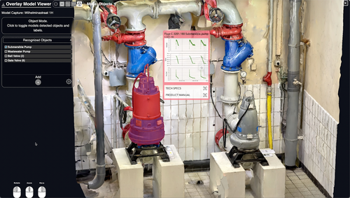
A new format enables smartphones to gain a 3D understanding of the world–for better machine learning and 3D visualization, and more versatile AR/VR.

PiXYZ Plugin exports CAD files directly to Unity
Whether you are an enterprise managing large volumes of data or an individual developing projects…

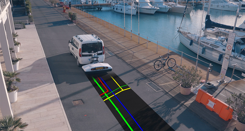
“Cognitive” GPR uses smartphones, AR & edge computing for underground utility location
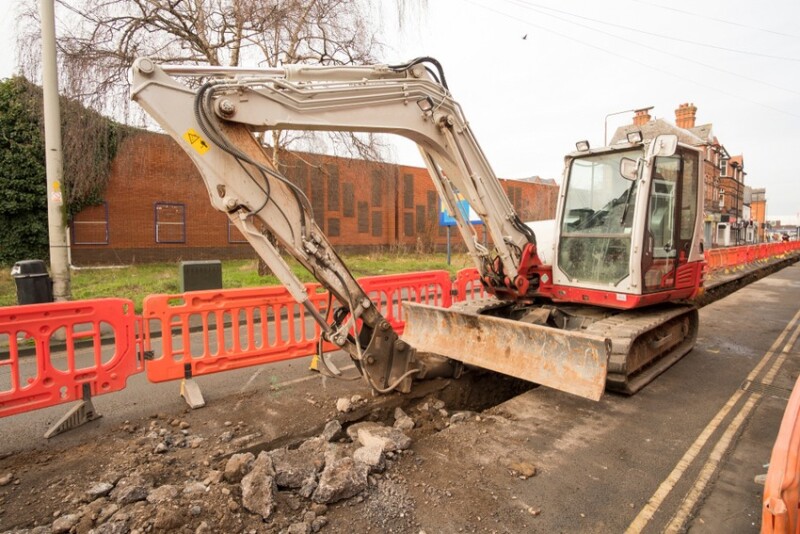
Underground utilities are a pain. To perform construction work, we need to know where they…

Ouster has a new $3.5k, 16-channel lidar (and a 64-channel sensor with longer range)
With an expanded product line, the company is ready to take on the dominant lidar tech in the space.

FARO’s BuildIT Construction is a QA/QC tool–and a sign of things to come
FARO wants you to think of it as a construction solutions provider.

Voxxlr uses Google cloud to take point clouds to the next level
Voxxlr began is a browser-based point cloud editor and viewer with designs to beat the best desktop apps with the power of cloud computing.

Pixvana’s VR Casting offers a simpler way to share and experience VR storytelling
Sharing and streaming VR experiences just got easier.

DAQRI Worksense suite includes 3D capture capability
Augmented reality continues to work its way from “cool idea, but not for us” to…

RIEGL’s VMX-2HA: A lidar mobile mapper for 2018
At ILMF this year, industry regular RIEGL was on hand to show off its latest…

Bluesky develops smartphone 3D mapping solution for infrastructure
Aerial mapping company Bluesky Innovation is developing a handheld solution to capture accurate 3D spatial…

Topcon buys ClearEdge3D
Though big things are on the way, ClearEdge is “not anticipating” changes to EdgeWise or Verity in terms of name, price, licensing, or partnerships.

Enhancing GIS with augmented reality
vGIS enables field workers to visualize georeferenced GIS data of utility assets around them as holograms by using VR/AR/MR technology.