
At INTERGEO 2017, YellowScan announced two new products in their line of fully integrated lidar solutions for UAVs.
Mapper Vx
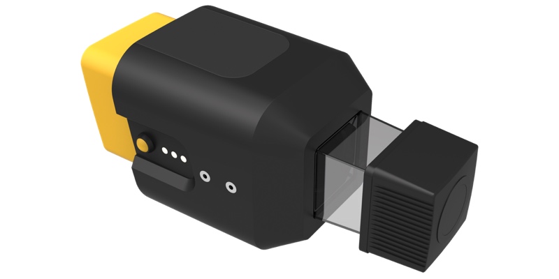
The new Vx model is a completely new product designed to meet the needs of long range, high-accuracy survey projects.
The device weighs 2.5 kg – 3 kg depending on the IMU attached, and offers a battery life of 1.5 hours under typical conditions. It includes a RIEGL miniVUX-1UAV lidar onboard, and so boasts accuracy of 2.5 cm – 5 cm. It can fly at altitudes up to 100 m, and is rated to cover swaths of up to 400 m.
Mapper II
The Mapper II is an upgraded version of the company’s Mapper integrated lidar solution. YellowScan also says the georeferencing workflow has been streamlined for increased accuracy and efficiency. The device generates an LAS file in “only a few minutes.
Furthermore, it offers an onboard computer for continuous data processing. The device also offers precision of 10cm, accuracy of 15 cm on XY, and 5 cm on Z.
For more information on these devices, including pricing, check YellowScan’s website.


