
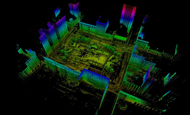
At this year’s ILMF, Emesent was on hand showing off the latest version of its Hovermap solution. This remarkably small payload includes everything you need to turn an autopilot-enabled DJI drone into a smart, autonomous mapping device.
Imagine this: you send your drone into a space that’s too dangerous for human surveyors, and it navigates its way through the space, captures a high-quality map in the process, and then finds its way back out without incident. Or: You plan a repeatable drone flight for a building inspection, and send the drone out regularly to capture progress. The drone finds its way around obstacles and returns the 3D data you need.
For more information about the solution, I caught up with Emesent at ILMF. Watch below.


