
LMS-Q780 good up to 10,000 feet
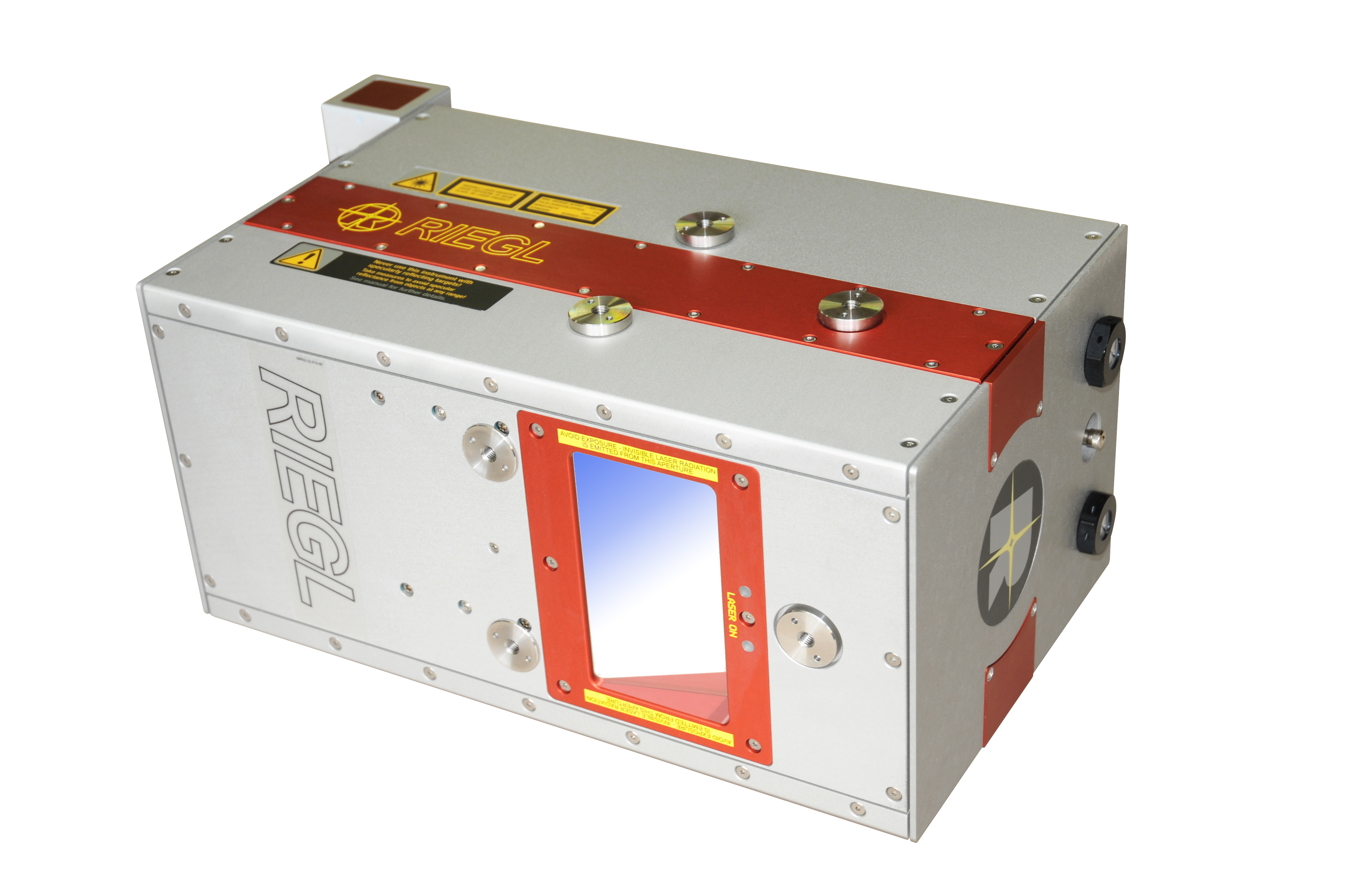
HORN, Austria – Riegl announced this week its second new laser scanner of the fall: the LMS-Q780, an airborne laser scanner designed for high-altitude applications. The long-range scanner has an operating flight altitude of up to 10,000 feet at a 100 kHz laser pulse repetition rate and with a wavelength that allows for glacier and snowfield mapping.
Last week, the company released its newVZ-6000 scanner for long-range terrestrial applications.
According to Riegl, unique features of this instrument include “the automated resolution of range ambiguities, typically occurring at large measurement ranges and high repetition rates.” Peter Rieger, product manager Airborne Laser Scanning, said in a statement that, “The effect of range ambiguities appearing in airborne laser scanning is known as ‘multiple-time-around’ or ‘multiple-pulses-in-the-air.’ Up to now it was necessary to carefully consider the appearance of range ambiguities during flight planning by choosing a flight altitude above ground assuring that all range measurements stay within a single MTA zone – which may be a really difficult task especially in complex terrain like mountainous areas. RIEGL’s new generation of airborne laser scanners overcome this limitation by using multiple-time-around (MTA) processing.”
For the LMS-Q780, according to the release, this technique allows a maximum measurement range of 2450 m at a PRR of 400 kHz and a target reflectivity of 20 percent. Up to 9 laser pulses and their corresponding echoes can be on their way between laser scanner and ground targets simultaneously.
Now, instead of manually specifying the correct MTA zone, RIEGL’s new RiMTA software resolves these range ambiguities automatically without any user interaction necessary, according to the release.


