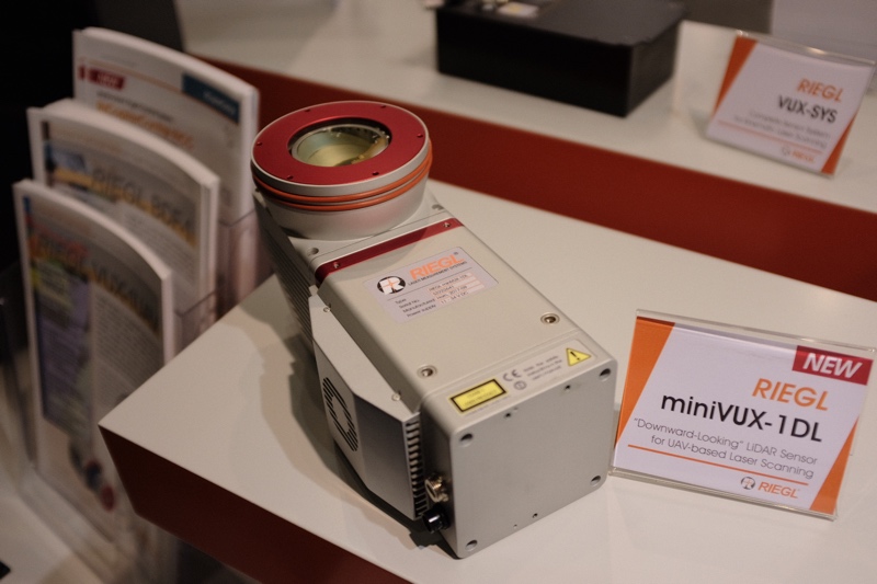
RIEGL is present at INTERGEO 2017 with a range of new products, but perhaps the most buzzed-about is the miniVUX-1DL lidar. The company is calling the device a “sister device” to its mini UAV lidar scanner, with a new downward orientation to meet the needs of corridor mapping workflows.
According to RIEGL, the device is constructed as a wedge prism, which gives it a +/- 23° field of view. The device scans in a circular pattern, enabling better coverage and higher scan density. The miniVUX-1DL lidar weighs 2.4kg, performs 100 scans per second, and gathers 100,000 points per second. It boasts a range of 200 meters, and accuracy of 15 mm.
The company designed the sensor for UAV users who demand denser, more accurate data from their corridor mapping systems.
It is available as a standalone device, or as part of an integrated solution. Users can opt to integrate the lidar with three IMU/GNSS systems offering different levels of performance, RGB sensors, and even a separate control unit. The device can be configured to meet the needs of many different kinds of UAV users.
Stay tuned for more information on RIEGL’s other new hardware.