

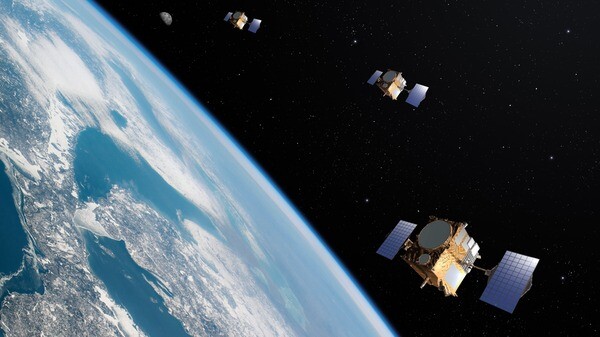
Today at the Geospatial World Forum in Rotterdam, a relatively new company in the Earth Observation space, NUVIEW, announced that they are building the first-ever commercial lidar satellite constellation to map the entire land surface of the Earth in 3D. This will be the first time Earth’s surface has been captured in this way. In their announcement of the news, the company indicates that they already have $1.2 billion in early adopter agreements.
There are significant advantages to this system compared to more traditional lidar capture systems, typically using crewed or uncrewed aircraft. To this point, lidar-enabled satellites have been a rarity in space, with applications largely limited to defense uses which were unavailable for commercial use. Per NUVIEW, their “always on” approach will allow their constellation to collect data more than 100 times faster than those traditional methods, something they believe will unlock an “addressable geospatial market of more than $60 billion.”
According to an interview with TechCrunch, NUVIEW plans to launch a proof-of-concept satellite called “Mr. Spoc,” though there is no launch date to this point. Those aforementioned early adopters will have access to the data received from that launch, and will be able to provide feedback on future launches. Their plan is to launch future satellites in four groups of five, each spaced by 18 months.
The Orlando, Florida-based company had largely kept a low profile until their announcement on Wednesday in Rotterdam, but they boast plenty of experience in the Earth Observation realm. Clint Graumann, the CEO and co-founder of the company, has experience at Planet Labs – as does Chief Engineer and Mission DIrector Jesse Eyer – as well as working previously as CEO at TerraMetric. Katie Graumann, NUVIEW’s COO and co-founder, also previously worked at TerraMetric. The leadership team also has experience within the public and defense sectors, with previous jobs at places like the US Naval Research Laboratory, the Air Force Research Laboratory, and the National Geospatial-Intelligence Agency.
It’s not difficult to see the potential of this kind of application, which could completely transform the type of data we have access to. Right now, it’s estimated that only five percent of the Earth’s landmass has been mapped with lidar. Efforts have been ongoing to try and increase that number, but it was always going to be extremely difficult, if not impossible, with traditional methods. NUVIEW’s constellation has the potential to change that, and rapidly.
For that reason, one can see why there are already plenty of customers interested in this data, with testimonials on their websites coming from sectors like agriculture, AEC, and other satellite companies. To that end, NUVIEW indicates that they are “excited” to collaborate with partners such as other satellite operators to explore different applications.
Already, though, they have listed a number of potential applications and industries which can benefit from this new offering. Among the services they offer are 3D change detection, digital twin creation, utility corridor mapping, foliage penetration, and floor mapping. Furthermore, they call out environmental management, national mapping initiatives, and telecommunications as industries and applications which can be logical beneficiaries.
In a press statement, Clint Graumann said, "NUVIEW is thrilled to be leading a new era in geospatial technology to provide the first, most complete, high-resolution 3D point cloud of the Earth's surface. Our LiDAR satellite constellation will offer a wealth of information that has never before been available at scale, driving innovation and progress throughout numerous industries and revolutionizing the way we understand and interact with our planet.”


