Press release highlights:
- LFM and PointCab have integrated NCTech’s iSTAR camera with their software to enable point-cloud colorization
- The iSTAR camera has also been integrated with Pix4Dmapper, enabling uses to generate point clouds from panoramic images
NCTech the developer of reality imaging systems, today announced several new integrations for its industrial-grade iSTAR panoramic camera. The company will be showcasing new developments at the INTERGEO 2016 conference and tradeshow next week in Hamburg, Germany, including:
Point cloud colorization integration
NCTech’s ColourCloud software has been integrated to allow direct import of raw image data from iSTAR to colourise laser scans within the software offerings from both LFM Software and PointCab.
LFM is used by some of the world’s biggest engineering and owner operating companies in the Oil & Gas, Power and BIM arena. LFM’s software enables 3D laser survey data to be used to increase efficiency throughout an asset’s project and operational lifecycle. PointCab’s products provide extensive functions for analysis, calculation and documentation, as well as interfaces to almost all laser scanners, photogrammetry data and CAD systems.
“For a number of years, customers of LFM have benefited from combining data from multiple 3D capture devices in their pursuit of visualising, revamping and manging their assets,” said Gary Farrow, VP Business Management, LFM Software. “Technology like the iSTAR greatly complements this data and also offers an efficient data capture solution helping to further broaden consumption.”
Pix4D 360-degree image import
Pix4Dmapper software automatically converts images taken by hand, drone or plane, and delivers highly precise, georeferenced 2D maps and 3D models. In its position as a leader in 360-degree image capture, NCTech has worked closely with Pix4D to support the development of Pix4Dmapper’s new import function, which allows point clouds to be created from 360-degree images.
“Generating photogrammetric model quality from 360-degree images depends on the spherical cameras used as well as the software processing capability,” said Lisa Chen, Technical Communications Manager, Pix4D. “NCTech’s iSTAR camera has great stitching quality and factory calibration which leads to a perfect combination with Pix4D software and a purely automatic 3D reconstruction.”
Measurement module
NCTech will also be showing how partners Arithmetica and Veesus have integrated the company’s new Measurement Module into their software offerings. The Measurement Module is delivered as an NCTech SDK and enables iSTAR users to take measurements from directly within a spherical image by combining a ‘stereo pair’ of iSTAR images.
The measurements generated are valuable for applications such as asset management, construction, forensic evidence collection and surveying. Key benefits to these markets include iSTAR’s high speed of capture and the ability to rapidly cover large areas on-site and take measurements later.
The NCTech SDK is provided free of charge to enable third-parties to build the measurement capability into their own software and become part of the new “NCTech Integrated” partner community.
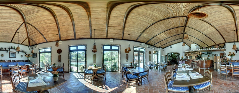
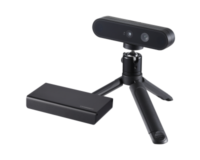
Designed for rapid 360 degree imaging, iSTAR is a panoramic camera that precisely captures full spherical immersive images for fast, efficient visual documentation of an environment.


