

Pix4D is a software development company that provides solutions for converting images collected via hand, drone or plane into georeferenced 2D mosaics, 3D models and point clouds. After announcing new tools earlier this year, Pix4D has now announced a pair of cloud-based mapping platforms: Pix4Dcloud and Pix4Dcloud Advanced.
The two new stand-alone cloud products use Pix4D’s photogrammetry algorithms for mapping and modeling reality from images. Both products now replace the previous Pix4D Cloud platforms, and Pix4D Advanced extends the functionalities of Pix4Dcloud for construction with the addition of time-based monitoring and higher accuracy. Both Pix4Dcloud and Pix4Dcloud Advanced can be purchased on top of any Pix4D product. They differ in their functionality: the right tool depends on a user’s needs and workflows.
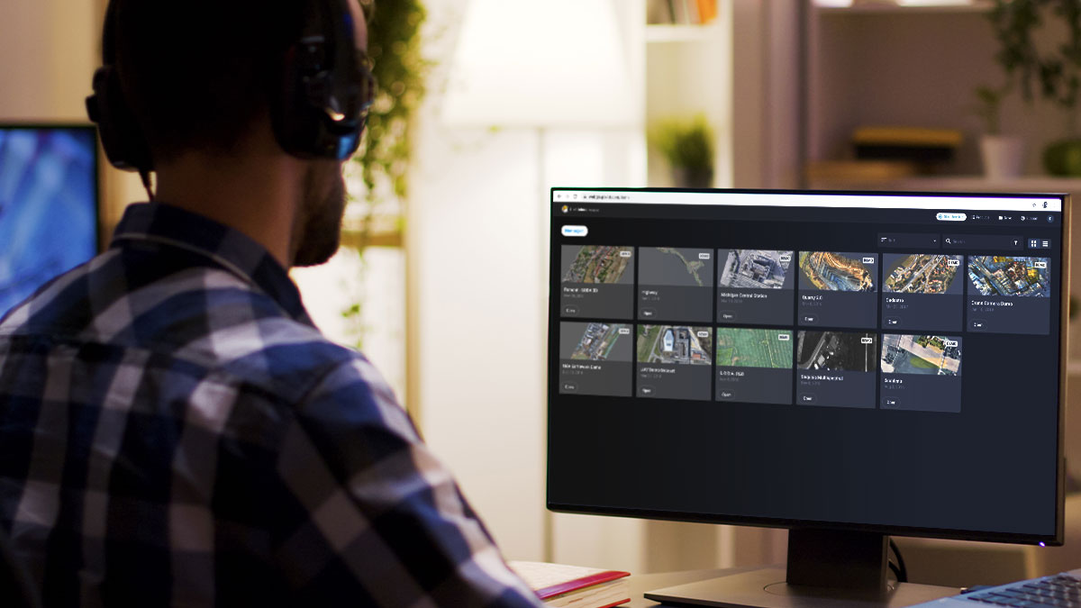
Another key benefit to the cloud-based solution is that the projects and datasets created by users are all in one place, allowing for more seamless access and reduced time searching for sites and datasets.
With Pix4Dcloud Advanced, projects can now be processed with ground control points (GCPs) directly on the cloud. Pix4D has combined machine learning and computer vision in the AutoGCPs feature to pinpoint the exact center of a GCP target almost instantly with pixel-level accuracy, all automatically.
For construction customers, Pix4Dcloud Advanced can be bundled with their purpose-built Crane Camera, allowing for a straightforward – and less invasive – workflow for automatically capturing construction site imagery. They’ve also improved their alignment process for the Crane Camera’s output, so that projects of the same site captured at different times are better aligned in the final product.
Read more on Pix4D’s blog or explore demo projects for free and without an account on cloud.pix4d.com/demo .


