Earlier this week, Delair announced the release of its UX11, a fixed-wing UAV designed specifically to capture high quality imagery for survey-grade geospatial mapping applications. The system is designed to “future proof,” according to Delair, who built the system to use “open and extensible” edge-computing infrastructure “that can be easily upgraded and incorporate new features as they are developed.”
The DX11 also includes a number of integrated features, such as a global shutter camera, analytics and data reporting tools, PPK functionality.
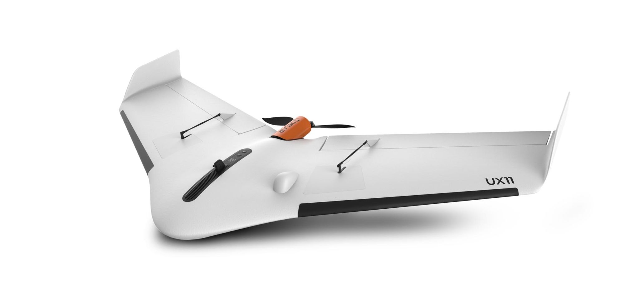
As for range, the system is rated for flights of up to 59 minutes, or over 500 acres of mapped area when flown at 400 feet. It weighs only 1.4 kg, which makes hand launches possible, and BTOL (bird-like takeoff and landing) for launches and landings in tight areas. To make landings smoother, the system includes a reverse thrust and ground sensor.
Delair offers the DX11 with two different communications options. The first is a 2.4 GHz wireless connection that works “anywhere” at a range of up to 5 km, and secure 3G/4G network connection functionality for reduced interference and longer range. All communications run through a ground control station.
Lastly, the workflow: Included Flight Deck software runs on Android devices and offers functionality from the planning stage to processing. That means quick mission planning and pre-flight checks, in-flight monitoring and data verification, and post-flight analytics through integrations with third-party photogrammetry software.
For more information, including pricing and availability, see Delair’s product website for the DX11.