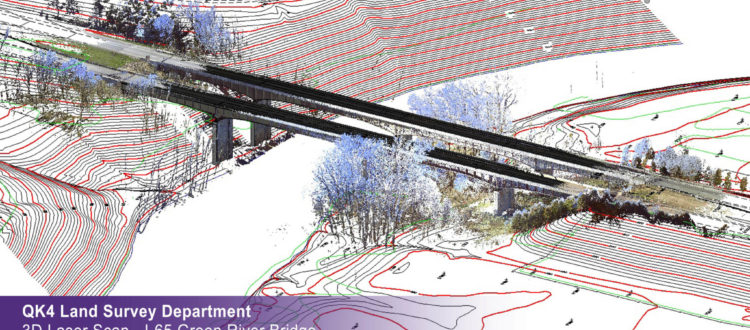
In our first official Points & Pixels podcast, Bill Emison interviews Ben Shinabery, PLS, who is the Survey Manager at Qk4, an engineering firm based in Louisville, Kentucky. Ben provides the listeners with insights into his survey background, and how he convinced Qk4 to adopt terrestrial laser scanning (TLS) in support of transportation engineering projects with the Kentucky Transportation Cabinet.
Ben will also provide perspective into his firm’s plans to extend their 3D capture services with handheld and mobile scanning systems. In addition, he’ll discuss how laser scanning has positively affected his firm’s approach to 3D capture, while also describing how this survey service offering has helped his client utilize and leverage lidar technology in their daily operations.
Episode Contributors