
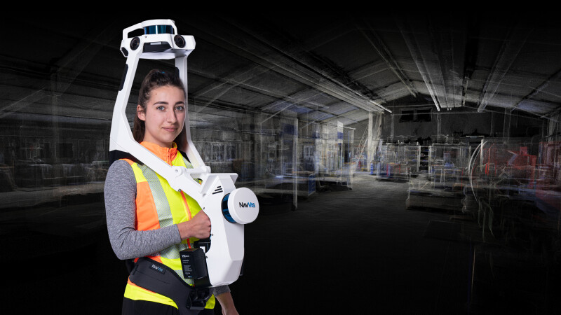

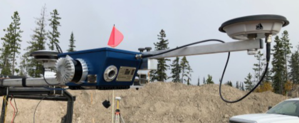
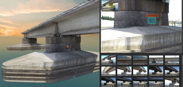

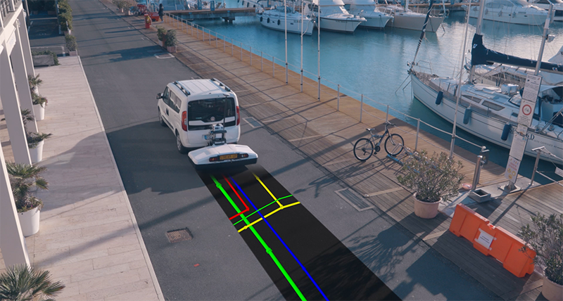

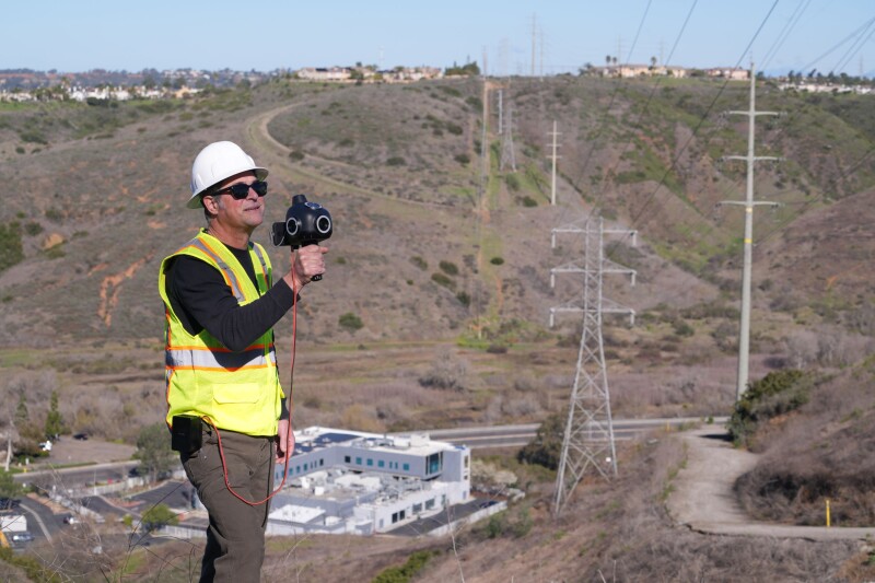
From the editor: While laser scanning and photogrammetry have increased in their usability an accuracy, the energy and utility sectors have faced unique challenges in adopting this technology. Their spaces are complex, detailed, and in many cases - accuracy cannot be compromised. At Geo Week we are following those technologies that have enabled better reality capture in these industries, as well as the automation and other tools for keeping workers in hazardous environments as safe as possible. Follow some of these developments here.
Subscribe
The information you submit will be stored and used to communicate with you about your interest in Geo Week. To understand more about how we use and store information, please refer to our privacy policy.

‹ All News
Browse by Industry 


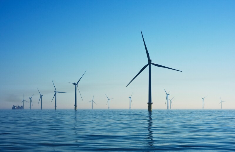
Energy & Utilities


Login
