Subscribe
The information you submit will be stored and used to communicate with you about your interest in Geo Week. To understand more about how we use and store information, please refer to our privacy policy.


Latest News


Featured
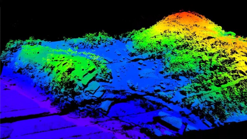
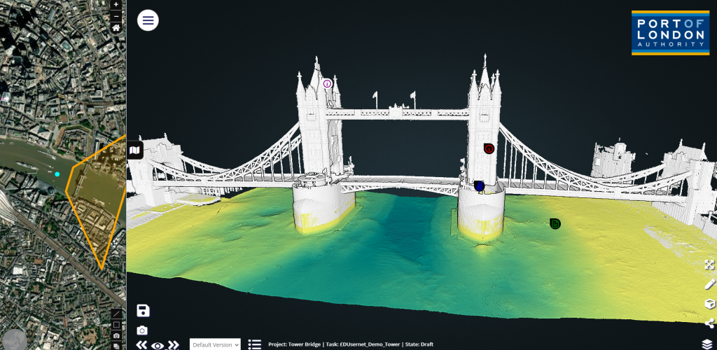
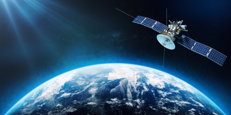
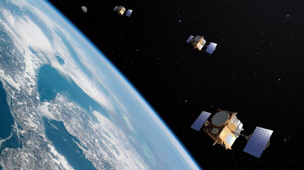
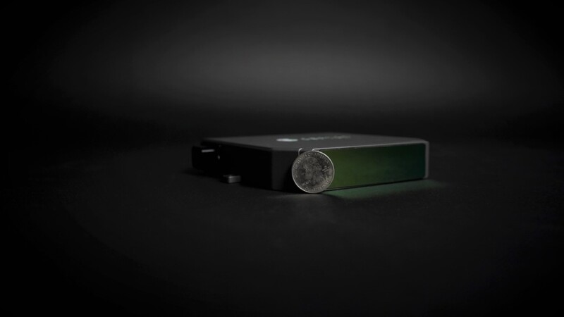
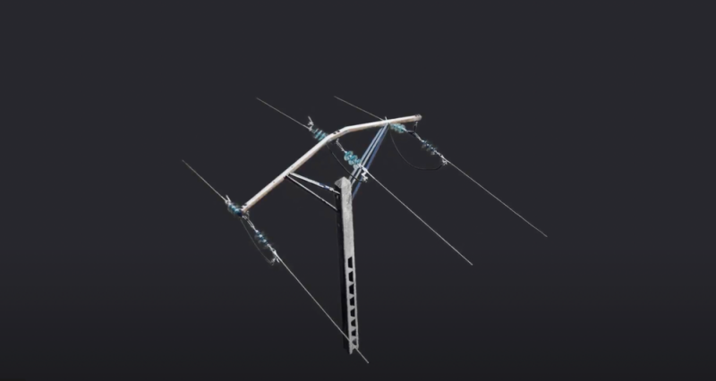
The new system acquires high-definition 3D images with a low-power laser and could be used for environmental monitoring and mapping using drones and satellites.
Blog

Today we look at stories highlighting different uses and conversations around the 3D scanning and technology space.


Login
