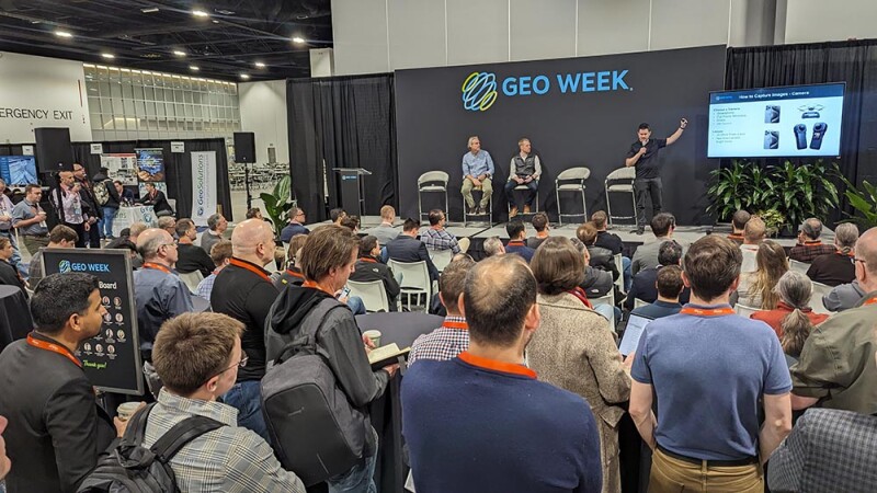
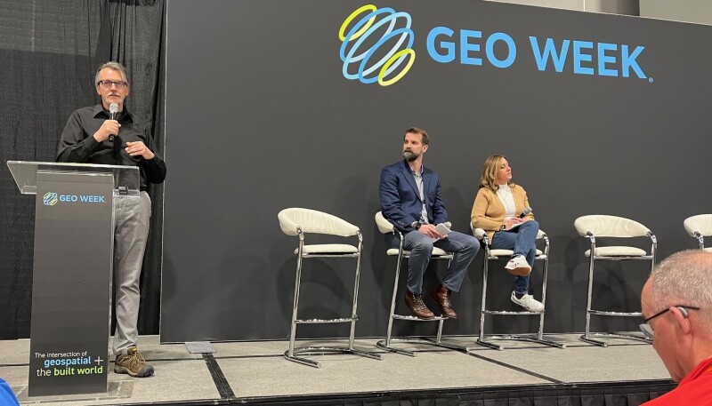
Geo Week is the premier event for increased integration between the built environment, advanced airborne/terrestrial technologies, and commercial 3D technologies, bringing together former stand-alone events AEC Next Technology Expo & Conference, International Lidar Mapping Forum, and SPAR 3D Expo & Conference. Powerful partnership events will also take place at Geo Week, including ASPRS (American Society for Photogrammetry and Remote Sensing) Annual Conference and workshops, USIBD (U.S. Institute of Building Documentation) Laser Scanning Event, and a collaborative plenary session in partnership with MAPPS and WGIC (World Geospatial Industry Council).
Conference-related news is collected below - for more information about attending the conference, you can learn more about Geo Week on the conference website.
Latest