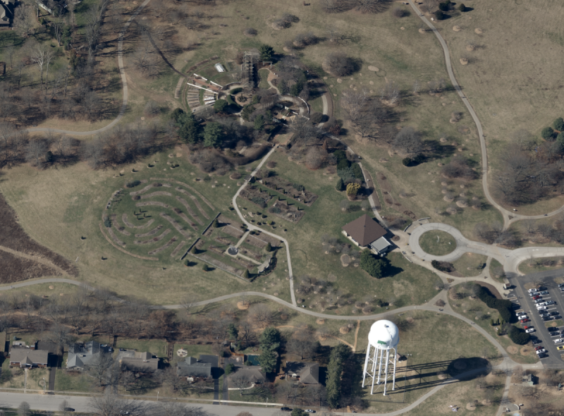
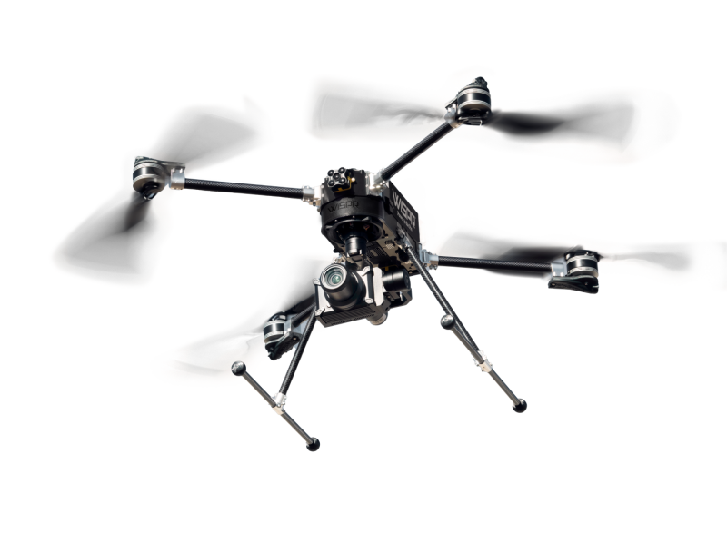
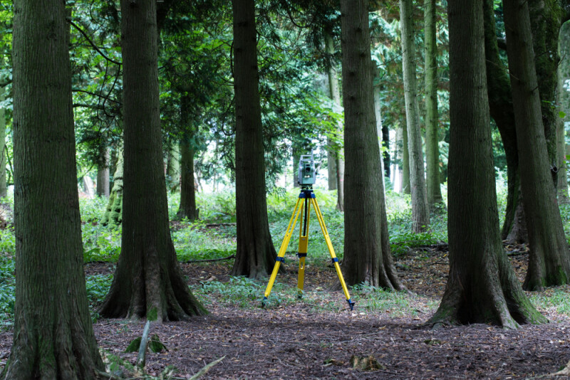
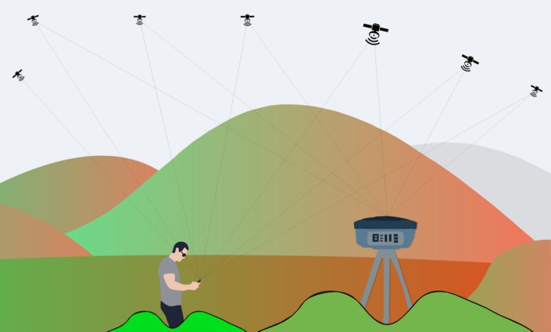
GeoCue Group’s latest 3DIS redefines lidar wire extraction and dense vegetation penetration
GeoCue Group’s latest addition to their 3D Imaging Systems (3DIS) series, the True View 515,…
The next iteration of Trimble’s 3D scanning station provides fast data capture for surveying, engineering and geospatial professionals. New features, such as a green, focusable laser pointer and a high-resolution camera system enable new workflows in tunneling and underground mining.
As 3D scanning technologies for mobile mapping have evolved, their applications have expanded – including the scanning of highways and other horizontal infrastructure. However, each scan of a section of roadway presents an incredible challenge: how to handle the massive amounts of data generated – and how to extract usable, relevant information from them.
Recently, Trimble announced multiple product updates. Here’s an overview of what’s new in Trimble Business…
Having outdated or inaccurate data can not only slow critical services, but even put lives at risk. The Honeywell HGuide team works with its partners and customers to develop systems to meet the needs of broadening applications for mobile mapping – leveraging advanced technologies to solve challenging problems.
Geospatial company VeriDaaS is planning a high-density LiDAR elevation data collection at a minimum of…
High-resolution geospatial spatial data provider EarthDefine recently announced the release of an updated building footprint…
When lidar sensors on consumer mobile devices became a reality this year (both in the…
The TerrainMapper-2 is Leica Geosystems’ latest modular sensor offering. Here, Product Manager Ron Roth explains…
YellowScan, makers of a leading UAV LiDAR solution, have made major updates to its Mapper…
Leica Geosystems is having a busy year. From their release of the Leica Nova MS60…
Anyone can do a surveying project in ideal conditions, but what happens when you need…